
Aerial Dilapidation & Thermal Imaging (Expectation‑based)
Aerial Dilapidation & Thermal Imaging (What to Expect)
OVERVIEW
This case study outlines precisely what stakeholders can expect when 4EVA conducts RePL‑licensed drone dilapidation reporting and thermal imaging across a site.
Scope of Work
- CASA‑compliant operations
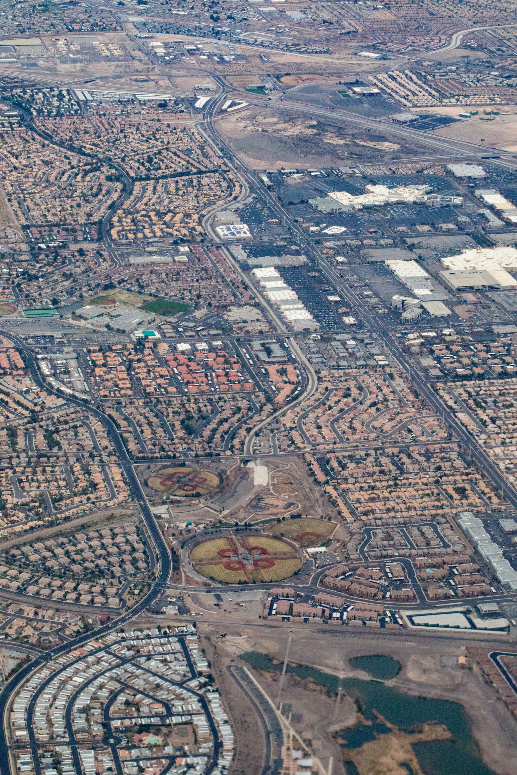
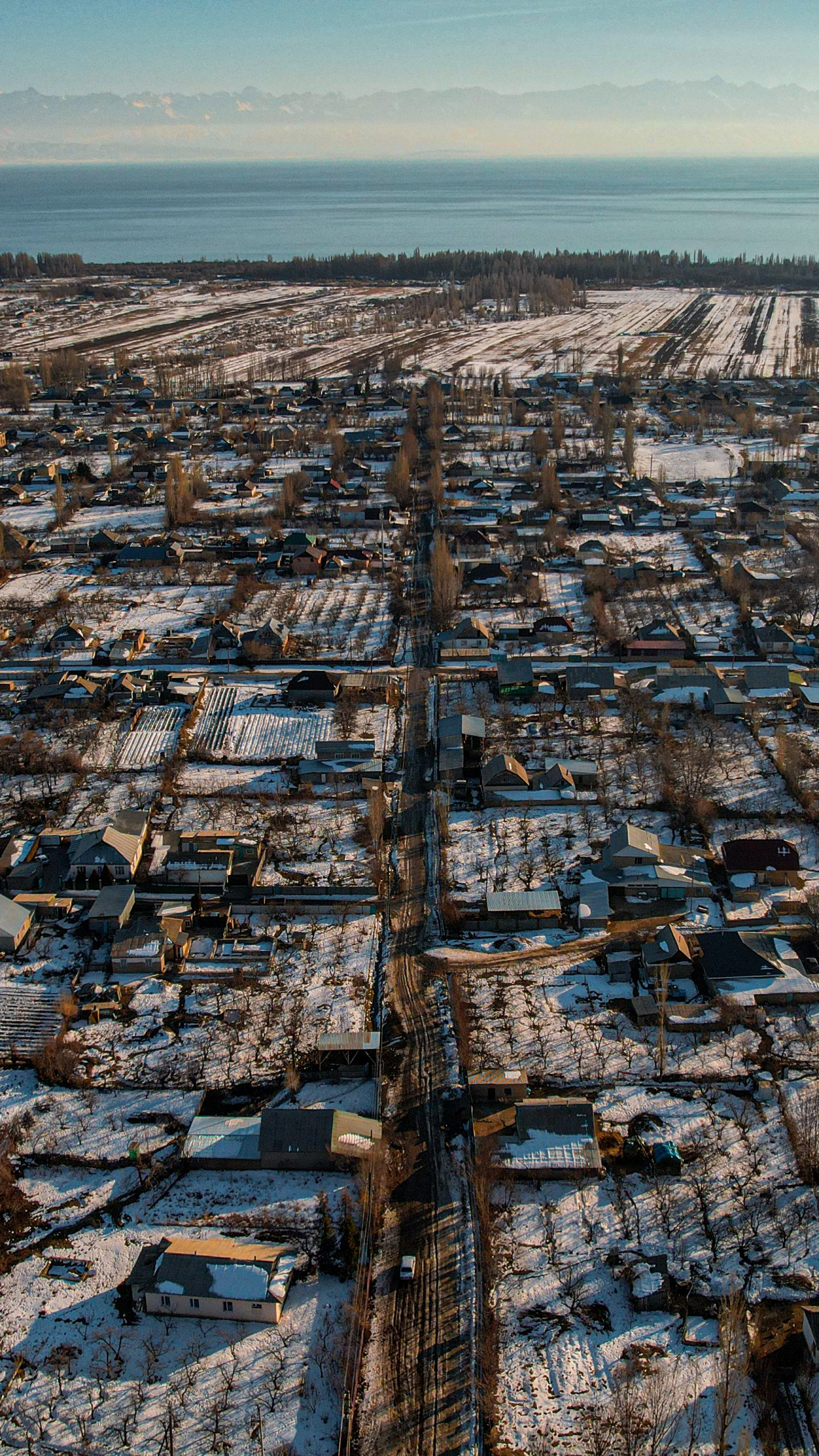
- Orthomosaic roof mapping
- 3D modelling
- Thermal imaging of solar/electrical assets
- Pre‑existing defect identification
- Drainage/structural/WHS hazard assessment
- Annotated imagery and insights
- Evidence‑grade reporting
- Enterprise Intelligence integration
- Recommendations
- Optional follow‑ups.
What to Expect
Step 1
Pre‑inspection coordination
Step 2
Aerial capture
Step 3
Thermal imaging
Step 4
Data processing & analysis
Step 5
Deliverables pack
Step 6
Post‑inspection review
Key Outcomes
- Objective evidence
- Reduced WHS risk
- Dispute prevention
- Early defect detection
- Solar suitability confirmation
- Support for funding/ESG/scheme eligibility
- Future baseline for comparisons
- CAIP integration
Why 4EVA Was Selected
- Proven capability
- Experience coordinating
- Strong reputation for precision, compliance and safety governance
- Deep knowledge of high risk civil and infrastructure environments
- RePL operators
- Orthomosaic/3D capability
- Solar/electrical emphasis
- Governance alignment
- Asset‑lifecycle integration
- Evidence‑first methodology
Compliance & Evidence
All works were delivered under rigorous QA and WHS frameworks, including:
- RePL licence docs; flight logs
- WHS
- Timestamped imagery
- Model & mapping layers
- Annotated defects
- Thermal signatures
- Risk ratings
- Audit/insurance‑ready evidence.
- Audit ready documentation was provided to the principal contractor and airport authority as part of the final turnover pack.
Explore More Case Studies
Proven delivery across community, aged care, strata and major infrastructure.

CHEP – Community Housing Energy Program
Delivering electrification & energy efficiency upgrades across multi dwelling social housing portfolios.
View Case Study

Rail, Metro & Structural Infrastructure
Major infrastructure delivery across tunnels, metro expansions & engineered assets.
View Case Study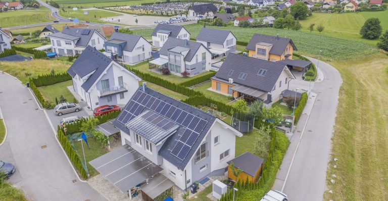
Soar (Solar For Apartments)
Strata ready solar deployment for apartments using SolShare & embedded networks.
View Case Study
Aged Care & Retirement Living
Electrification programs with resident sensitive delivery & optin initiatives.
View Case Study